Whitehorse is the Yukon's capital and by far its largest community, with about 28,000 of the territory's 43,000 residents. It sits in the Yukon River valley below the lakes system that connects to the Chilkoot Pass and the routes used by the Klondike Gold Rush stampede of 1897-98. The city began as a supply point for the gold rush and a railway terminus, and the combination of the Yukon River, the surrounding mountains, and the boreal forest gives it a natural setting that keeps the wildness of the territory immediately accessible even from the downtown. Aurora borealis is visible from Whitehorse on clear nights throughout the winter, and the Yukon Wildlife Preserve provides the best single-day exposure to Yukon's large mammal fauna without requiring an expensive northern expedition.
The city is the starting point for the Alaska Highway, the Klondike Highway to Dawson City, and numerous wilderness expeditions. It's compact, friendly, and has a disproportionately good food scene for its size.
S.S. Klondike National Historic Site
The S.S. Klondike is a restored sternwheel riverboat permanently moored at the Whitehorse waterfront, operated by Parks Canada as a national historic site. The Klondike and boats like it carried freight and passengers on the Yukon River between Whitehorse and Dawson City from the 1930s through 1955, when the completion of the Klondike Highway made river transport economically unviable. The vessel has been fully restored to its 1930s working condition and self-guided tours cover all decks, the engine room, the passenger cabins, and the working areas.
The story of the Yukon River steamboat era — the boat lines, the woodcutters who provisioned them, the communities that depended on them — provides essential context for understanding Yukon history before the road system was developed. The waterfront walking path connects the S.S. Klondike to the downtown through a series of interpretive panels about the gold rush and riverboat eras.
Yukon Beringia Interpretive Centre
Beringia is the land bridge that connected Siberia to Alaska during the last ice age, when sea levels were 100 metres lower and a vast grassland steppe occupied what is now the floor of the Bering Sea and Chukchi Sea. The Yukon was part of Beringia — one of the few areas of North America not covered by ice — and it preserves an extraordinary record of the megafauna that lived on the mammoth steppe: woolly mammoths, short-faced bears, scimitar cats, American horses, ground sloths, and the earliest human inhabitants of the continent.
The Yukon Beringia Interpretive Centre holds fossils, reconstructions, and scientific interpretation of this record. The life-size reconstructions of woolly mammoths and other megafauna are impressive. The geological and archaeological evidence for the first human migration into the Americas — potentially through Beringia as much as 24,000 years ago — is presented with the current state of the science. Adjacent to the Yukon Transportation Museum, both are worth doing on the same visit.
Miles Canyon
Miles Canyon, 8 kilometres south of Whitehorse, is a basalt canyon where the Yukon River narrows to about 30 metres between columns of volcanic rock for a stretch of several hundred metres. The canyon was the most dangerous obstacle on the route from the coast to the Klondike goldfields during the gold rush — dozens of boats capsized here and NWMP Superintendent Samuel Steele ordered that all women and children walk around while men ran the rapids. A dam downstream now controls the river level, making the canyon less dramatic than in the gold rush era but still an impressive piece of volcanic geology.
The Yukon River trail loop from the canyon bridge along both banks back to Whitehorse makes a 14-kilometre walk or cycle through the boreal river valley. Spawning sockeye salmon can be seen from the canyon bridge in August and September. Eagles concentrate here during the salmon run.
Yukon Wildlife Preserve
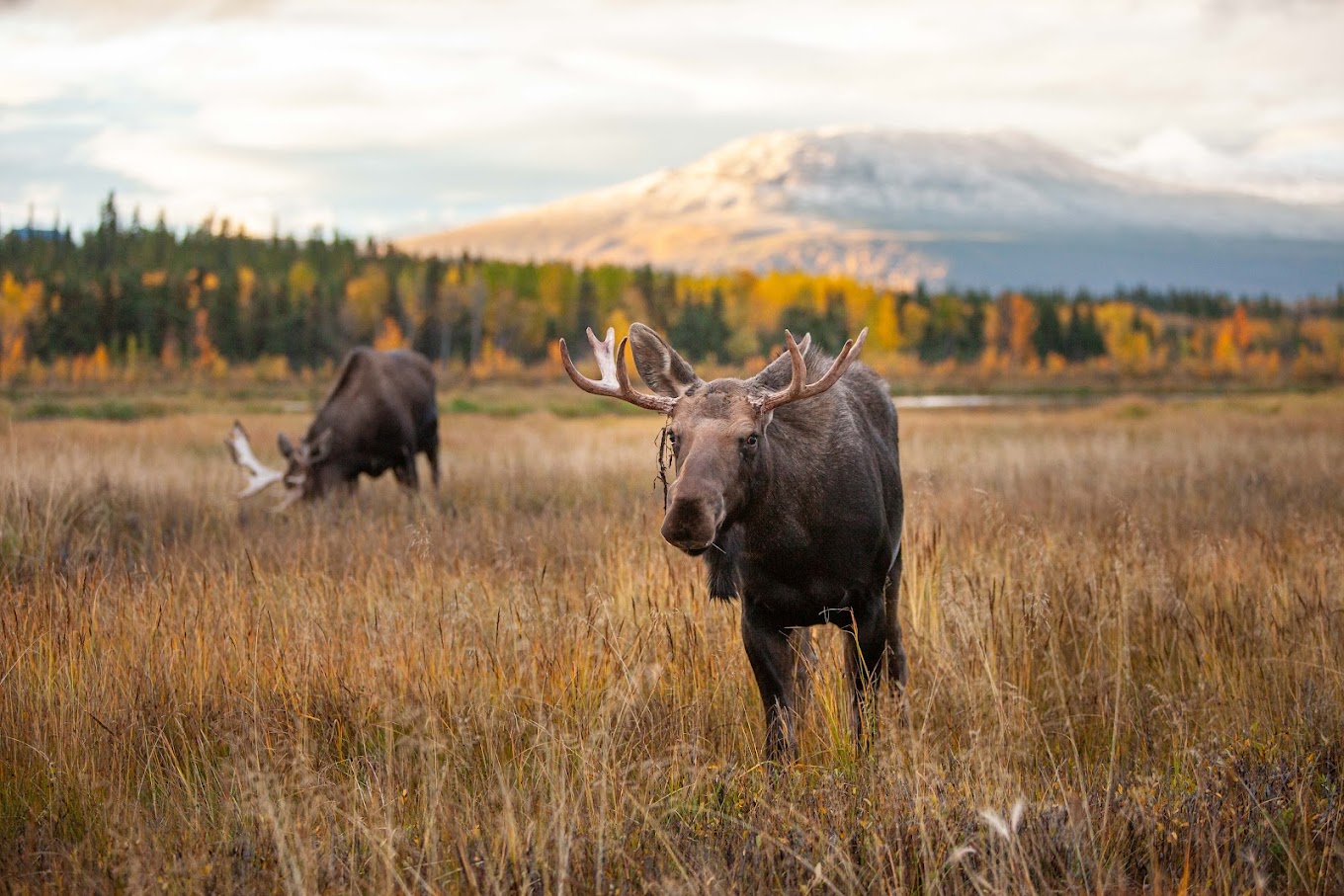
The Yukon Wildlife Preserve, 9 kilometres north of Whitehorse, provides the best single opportunity to see Yukon's large mammals in a naturalistic setting. The 700-acre preserve is home to bison, elk, moose, mountain goats, Dall sheep, musk ox, woodland caribou, lynx, Arctic foxes, and other species in large enclosures designed to approximate natural habitat. Many of the animals are former wildlife rehabilitation cases that cannot be released.
Self-guided and guided tours walk or drive through the preserve. The walking tours in winter, when the animals are most visible against snow, are particularly rewarding. The preserve is the most practical way to see bison and musk ox for visitors without the time or budget for remote wilderness expeditions. Open year-round; winter hours are reduced.
Carcross Desert
The Carcross Desert, 75 kilometres south of Whitehorse near the community of Carcross, claims to be the world's smallest desert — approximately 1 square kilometre of sand dunes in the Yukon. The dunes are the remnant of a dried lake bed deposited by glacial retreat; the surrounding mountains create a rain shadow that keeps the sand dry. In the right light conditions, the dunes photographed against the backdrop of Nares Mountain look genuinely North African in character.
Carcross itself is a small Carcross/Tagish First Nation community with a historic railway depot (where the White Pass and Yukon Route narrowgauge railway stopped from 1900 to 1982), traditional food vendors, and good access to the Bennett Lake area. The Matthews Point trail near the dunes gives views over Bennett Lake and the surrounding mountain valley.
Getting to Whitehorse
Erik Nielsen Whitehorse International Airport (YXY) has direct flights from Vancouver, Calgary, and Edmonton on Air Canada and Air North. Alaska Airlines serves Whitehorse from Seattle. The Alaska Highway (Hwy 1) connects Whitehorse to Dawson Creek, BC (1,400 km south) and the Klondike Highway (Hwy 2) runs north to Dawson City (530 km).
Share your Whitehorse experience
Powered by TravelGuide Comments — share your thoughts on each attraction above.